|
Project Name |
Improvement of the systems for navigation and topohydrographic measurements along the Danube River - phase 2 BG16M1OP001-4.001-0001-C01 |
|
Fund |
European Regional Development Fund |
|
Operational programme |
Transport and Тransport infrastructure |
|
Country |
Bulgaria |
|
Region |
North Central Region |
|
Short description of the project |
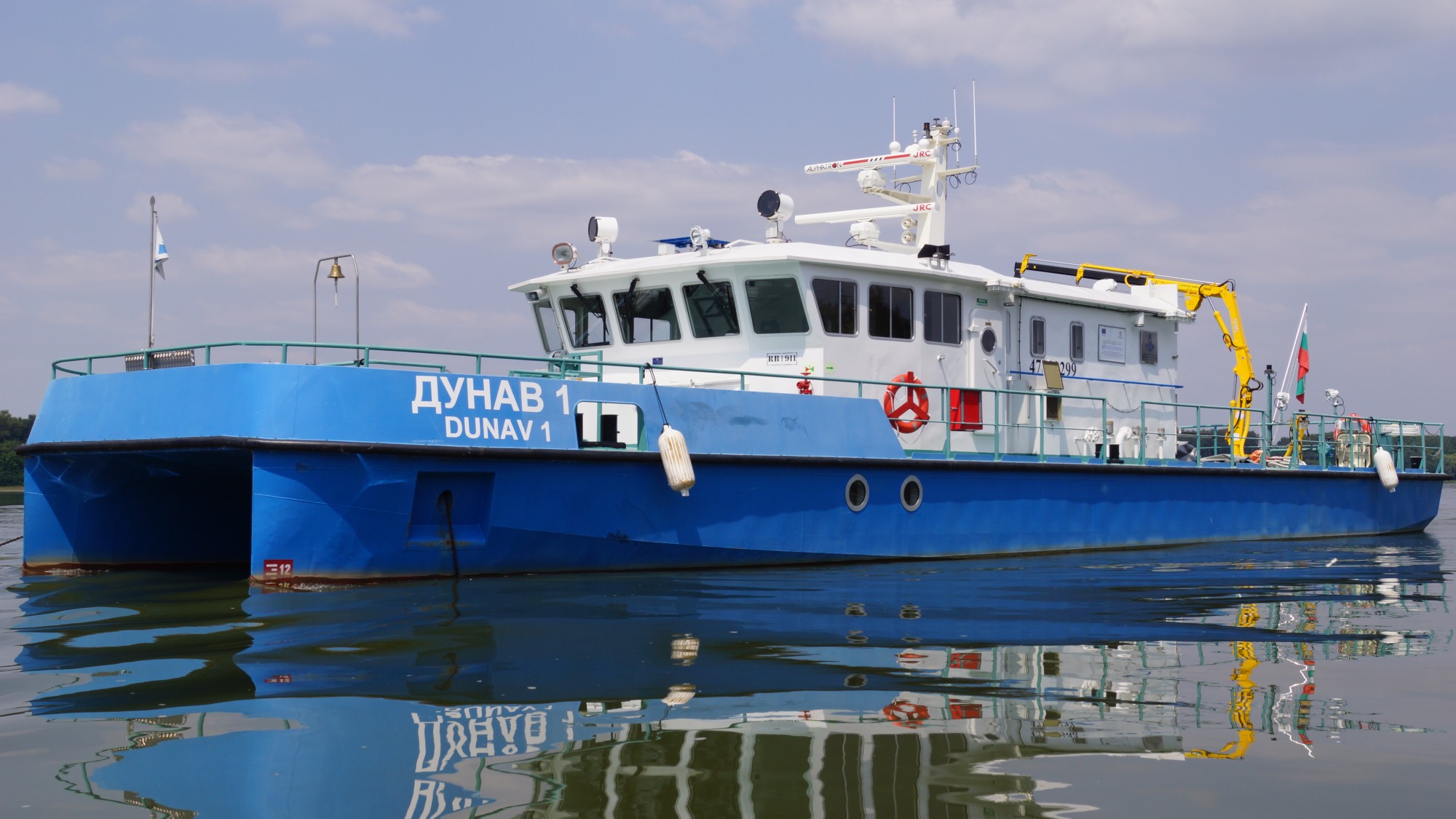
The transported specialised vessel equipped with modern equipment makes it possible to monitor hydromorphological modifications of the river, the condition of the watercourse in the common Bulgarian-Romanian section of the river Danube, as well as the movement of the sediments which are the cause of the formation of the threshold plots. |
|
Description of the project and objectives |
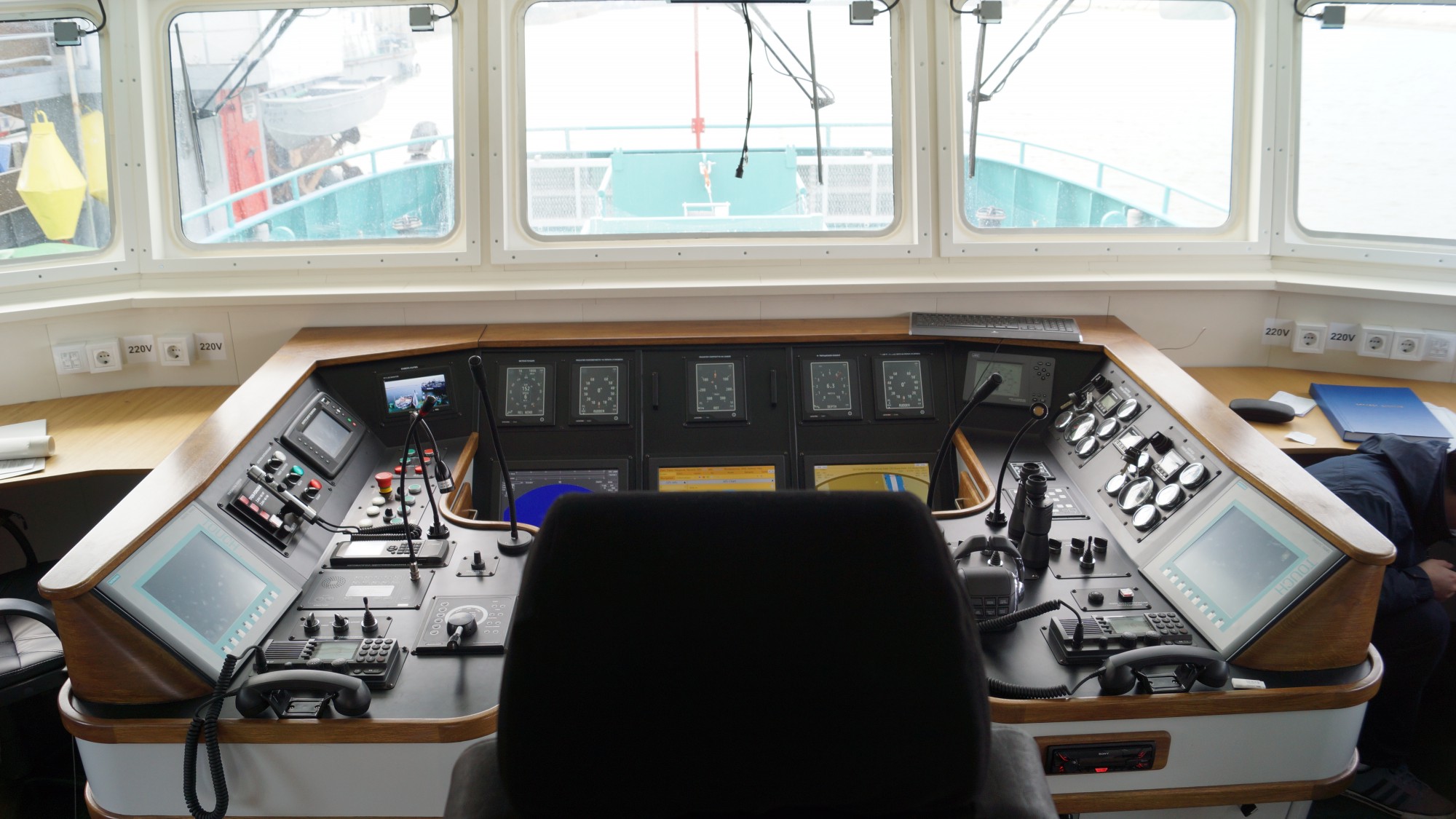
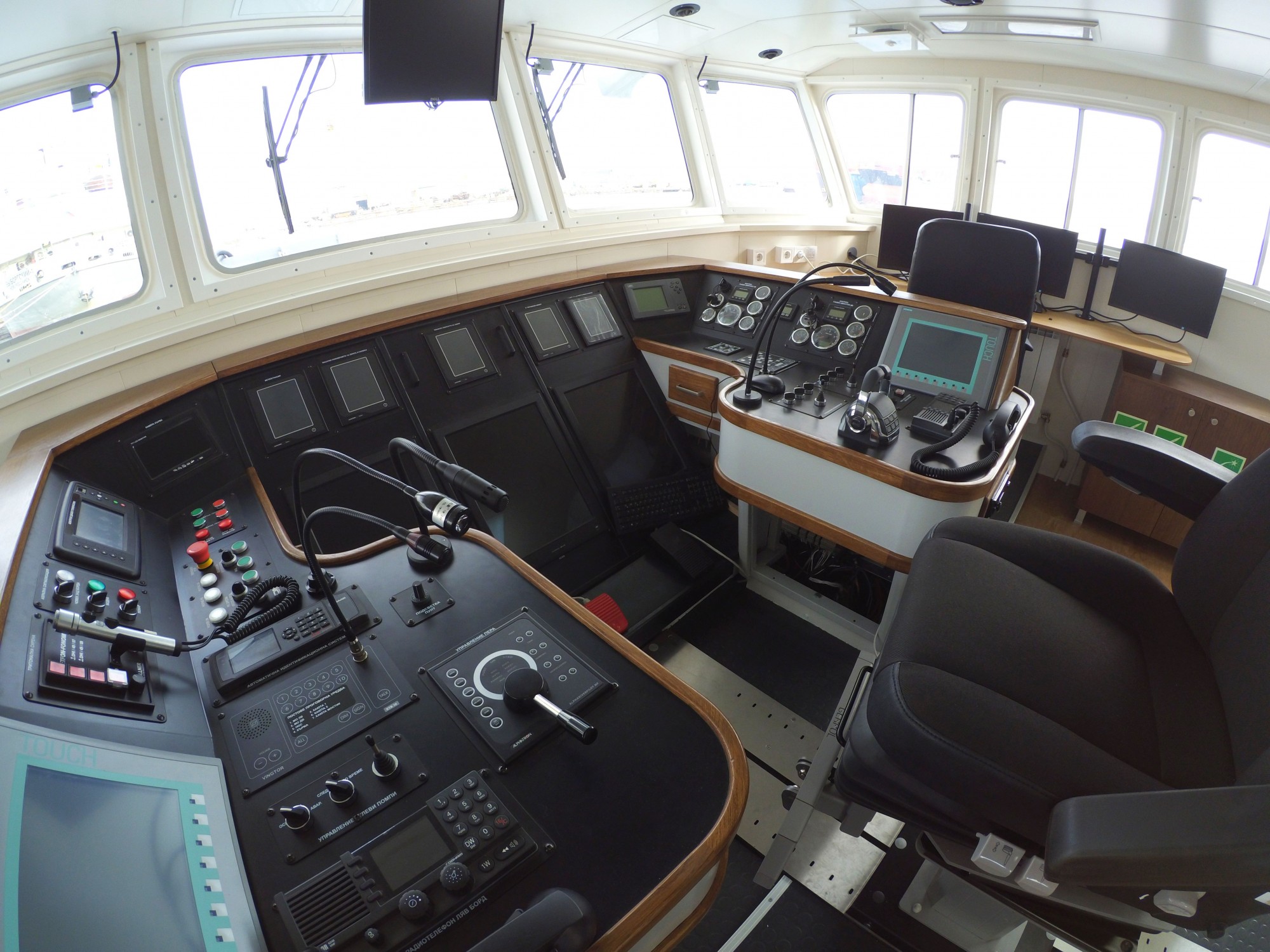
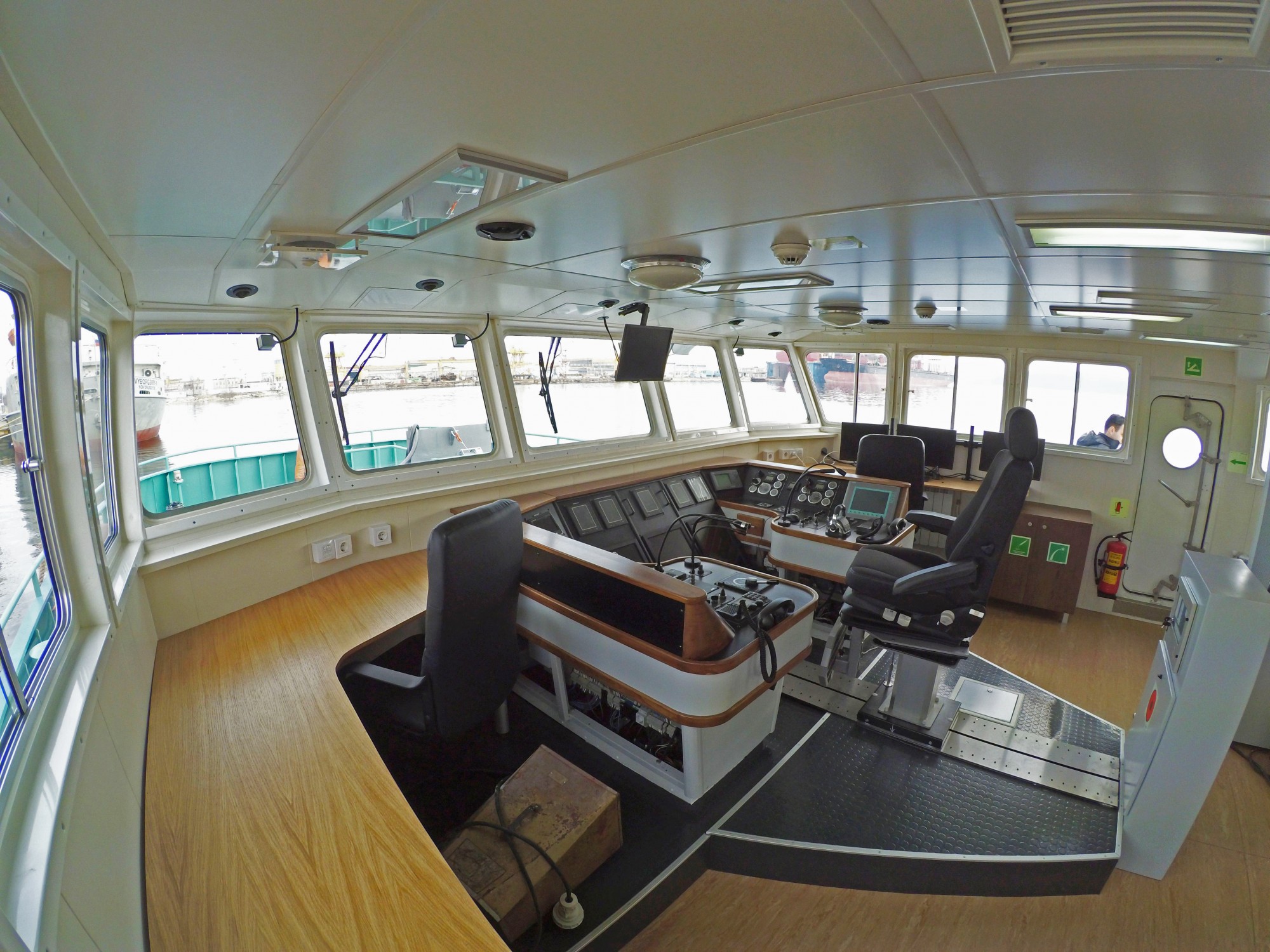
The supply of the hydrographical vessel provides for a modern hydrographic survey of which measurements will be intensified and more complete. In addition to depths, the baselines and the islands will also be measured, for the purpose of determining their nationality. The improved implementation of one of the main functions of the IAEDP related to the Danube survey will result in a more timely and complete assessment of shipping conditions and measures to be taken in case of modification of the ship’s way. The studies will keep track of the status of the berthing positions up to the Bulgarian coast, controlling the state of the ground around the foundations of the constructed hydrotechnical structures, including the Ruse-Giurgiu and the Vidin — Calafat bridge. One of the aims of the project is to reach international standards for the conduct of geodetic measurements and hydrographical activities necessary for the study of the hydromorphological modifications of the river Danube. Another key objective is to reduce the timing of studies, which is important for a prompt assessment of navigability conditions and to take faster measures to improve inland waterway safety.
|
|
Results, achievements, impact |
Within the project, a river vessel type derrick has been built and equipped with geodetic and hydrographic equipment, including multi-beam echoic for navigation in the area 3 in inland waterways (Danube river). |
|
Project Budget in BGN |
6 146 508 |
|
% EU Contribution |
85 % |
|
European co-financing in BGN |
5 224 531 |
|
National co-financing in BGN |
921 976 |
|
Start Date |
31 March 2016 |
|
End Date |
31 January 2018 |
|
Beneficiary |
Executive agency for exploration and maintenance of the Danube river |
|
Contacts of the beneficiary |
Slavyanska 6, 7000 Ruse, Bulgaria e-mail: appd@appd-bg.org |
|
Project media |
https://youtu.be/xXJWUyHIu8s |
|
Project website |
http://appd-bg.org/projects/optti#optti2 http://2020.eufunds.bg/bg/2/0/Project/Details?contractId=6y1uwhGR%2BP8%3D&isHistoric=False |